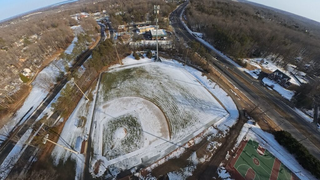
RW Aerial Imagery
Advanced 8k resolution, 360 degree drone video
About RW Aerial
RW Aerial Imagery delivers fast, accurate, and cost-effective aerial surveying and mapping services to corporations, non-profits, and government agencies. Our FAA-certified pilots utilize cutting-edge 8k and 360 degree visual technology to provide high-resolution imagery that empower organizations to make confident decisions and advance their projects with precision and speed.
We understand the challenges of managing aerial surveying in-house—the equipment costs, regulatory compliance, and operational complexity. Our simple, fixed-price packages eliminate these barriers, offering seamless procurement and transparent pricing. Whether you need infrastructure inspections, site surveys, or mapping solutions, we deliver professional results without the overhead, enabling you to focus on what matters most.
Our Services

Aerial Surveying & Mapping
Comprehensive aerial surveying and high-resolution mapping services using advanced drone technology. We capture precise data and deliver detailed 3D models for site analysis, project planning, and decision-making.

Infrastructure Inspections
Professional infrastructure inspection services for bridges, power lines, roofs, and other critical assets. Our FAA-certified pilots provide detailed aerial imagery and analysis to identify maintenance needs and ensure safety compliance.

High-Resolution Imagery
Capture stunning high-resolution aerial imagery of your property or project site. Perfect for marketing, documentation, environmental assessment, and detailed project visualization.